The Legend of the Vanishing Ships
Have you ever wondered why an ordinary stretch of open ocean became the most feared patch of water on Earth? For nearly a century, sensational paperbacks, television specials, and campfire folklore have warned travelers about the Bermuda Triangle. According to popular legend, any vessel crossing the warm waters between southern Florida, the island of Bermuda, and Puerto Rico risks being pulled into a bottomless vortex, swallowed by interdimensional rifts, or seized by extraterrestrial craft.
These stories have embedded themselves so deeply in modern folklore that many people assume the area possesses a documented, supernatural curse. Yet when naval authorities and marine scientists examine the records, a starkly different reality emerges. The U.S. Navy and the U.S. Coast Guard point out that there are no supernatural explanations for disasters at sea, noting that nature and human fallibility together account for recorded tragedies [s1]. The ocean is undoubtedly an unforgiving environment, but the sensational tales of vanishing crews and inexplicable phenomena belong to modern mythmaking rather than oceanographic fact. By examining the actual physical geography and meteorological hazards of the western North Atlantic, we can understand why ships met misfortune without invoking science fiction.
An Unofficial Map and Phantom Geography
To understand the reality behind the myth, it helps to start with official geography. Despite its immense fame, the Bermuda Triangle does not formally exist on any government map. The U.S. Board of Geographic Names does not recognize the Bermuda Triangle as an official name and maintains no official file or defined perimeter for the area [s1].
Federal cartographers and international hydrographic agencies do not demarcate its coordinates because the boundary itself is an informal cultural invention rather than a distinct geological basin. Over the decades, writers and paranormal enthusiasts have continuously stretched or contracted its vertices to encompass whatever ship, aircraft, or fishing vessel happened to go missing in the Atlantic. By continually shifting the boundaries to match unrelated maritime casualties, popular lore manufactured the illusion of a single, localized hotspot of unexplained tragedy. In the eyes of naval institutions, however, the area simply represents an expanse of open, heavily traveled international sea [s1].
Nature's True Fury: Hurricanes and the Gulf Stream
While supernatural forces play no role in oceanic losses, the western North Atlantic does present formidable environmental dangers. Environmental considerations explain many, if not most, of the disappearances recorded in the area throughout history [s1].
The region sits directly inside the primary conveyor belt for North Atlantic tropical cyclogenesis. Every year, massive tropical storms and Category 4 or 5 hurricanes sweep across these exact coordinates. In the centuries prior to radar, satellite meteorology, and automated radio distress beacons, a fast-moving hurricane could overwhelm a wooden brigantine or an early steamship without warning, leaving zero survivors to report what happened [s1].
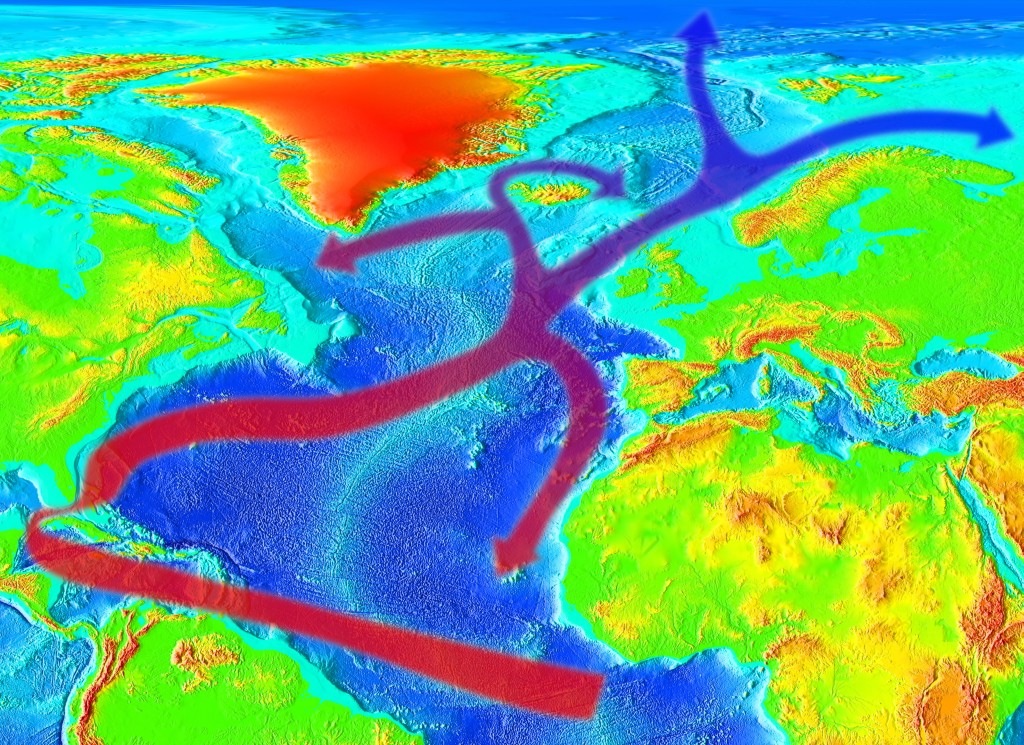
Compounding these seasonal storms is the powerful Gulf Stream—a swift, warm oceanic current that behaves like a turbulent river running through the sea. The Gulf Stream can rapidly generate violent, localized squalls and rogue sea states. A small vessel caught in these sudden weather changes can be swamped in minutes, and its buoyant wreckage can be carried hundreds of nautical miles away within twenty-four hours, giving the false impression that the ship vanished into thin air [s1].
Navigational Pitfalls and Compass Variations
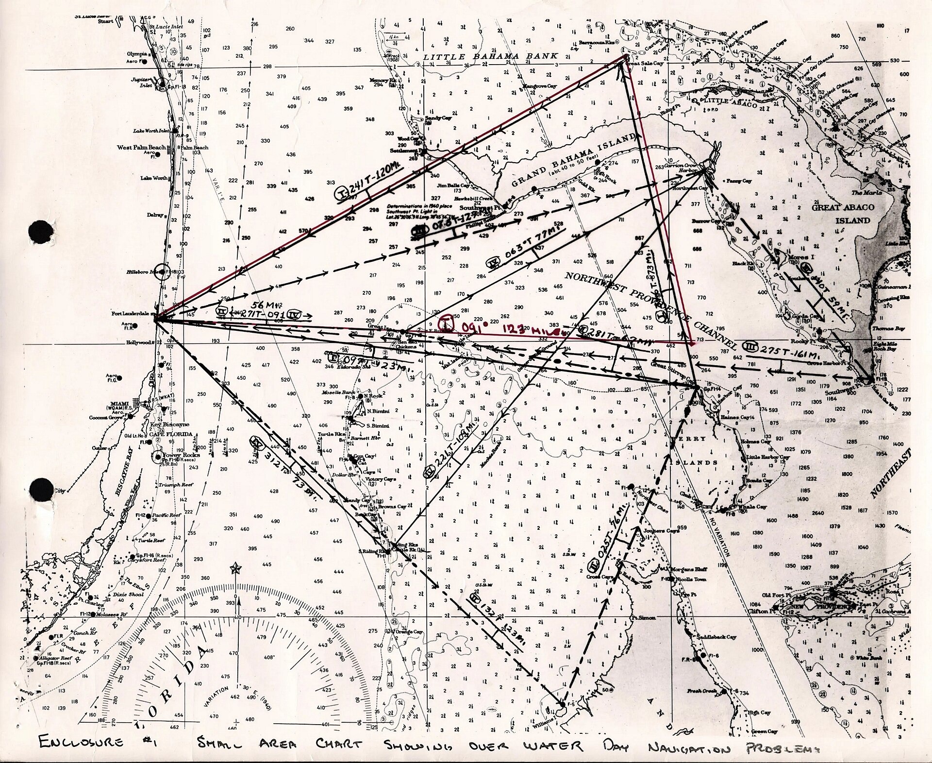
Beyond open-water squalls, the topography beneath the waves creates another severe obstacle for mariners. The southern margins of the triangle, particularly around the Bahamas and the Caribbean Sea, are filled with intricate networks of shallow banks, coral reefs, and sudden drop-offs [s1]. Throughout maritime history, unexpected shallows have regularly grounded navigating captains who misjudged their draft or drifted off course during poor visibility.
Navigation itself has historically faced subtle physical challenges here. There is evidence that the Bermuda Triangle is an area where a magnetic compass can sometimes point toward true geographic north rather than magnetic north [s1]. The Earth's magnetic field is dynamic and irregular; the angular difference between true north and magnetic north—known to navigators as magnetic variation or declination—fluctuates across the globe. When mariners failed to calculate this compensation correctly, especially before the widespread adoption of modern gyroscopic compasses and satellite positioning, small navigational errors could compound over hundreds of miles, steering ships onto hidden reefs or away from safe harbors. Speculative ideas such as sudden undersea methane hydrate gas eruptions have also been proposed in popular media, yet these remain unevidenced as practical drivers of historical sinkings in this basin [s1].
The Cold Reality of Statistics
When all the environmental factors are accounted for, does the Bermuda Triangle actually claim an unusually large number of lives? The definitive answer from naval and safety authorities is no. The U.S. Navy and the U.S. Coast Guard emphasize that there are no supernatural explanations for disasters at sea, noting that the combined forces of nature and human error regularly surpass even the most outlandish fiction [s1].
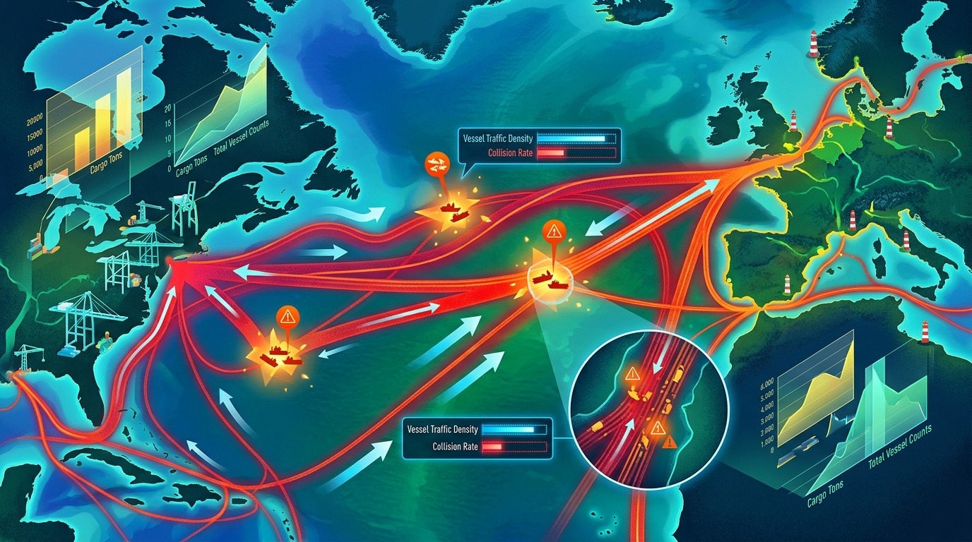
Rigorous maritime casualty records establish that mysterious disappearances do not occur with any greater frequency in the Bermuda Triangle than in any other large, well-traveled ocean corridor [s1]. The region encompasses one of the busiest maritime crossroads in the Western Hemisphere. Daily, thousands of cruise liners, commercial container ships, pleasure yachts, and commercial aircraft transit the expanse between the Americas, Europe, and the Caribbean.
When an area carries such enormous volumes of transit, raw incident numbers will naturally be higher than in deserted waters. Yet statistically, the proportion of accidents to total passages is entirely normal. The ocean has always proved deadly when severe storms meet human fallibility, but that is a universal truth of seafaring, not a localized curse [s1]. The mystery of the Bermuda Triangle is ultimately a story of human imagination outrunning statistical reality.
Sources & further reading
[s1] What is the Bermuda Triangle? ↗oceanservice.noaa.gov
Updated 20/10/2026. Report a correction.Image credits
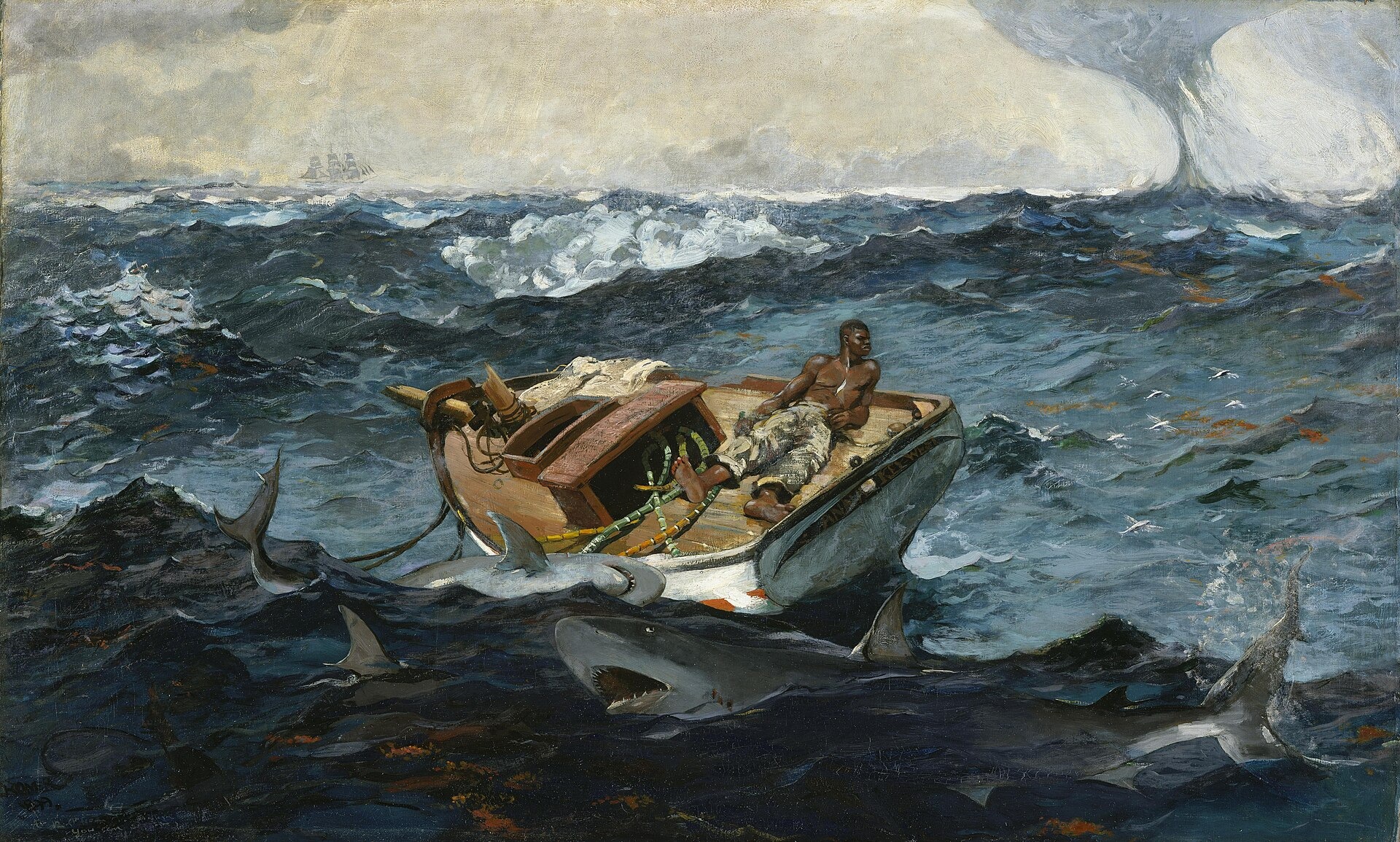
Related source image: Winslow Homer - The Gulf Stream - Metropolitan Museum of Art
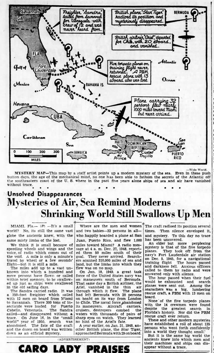
Source image · Bermuda Triangle 1950 article · Wide World and Associated Press · Public domain · Original image and rights details ↗
Source image · Gulfstream · RedAndr · Public domain · Original image and rights details ↗
Source image · Bermuda Triangle, Flight 19 Map of Navigation Problem Nr. 1, 1945 · US Navy (U.S. National Archives) · Public domain · Original image and rights details ↗
Gemini-generated conceptual illustration · COSMORA
Source image · Winslow Homer - The Gulf Stream - Metropolitan Museum of Art · Winslow Homer · Public domain · Original image and rights details ↗